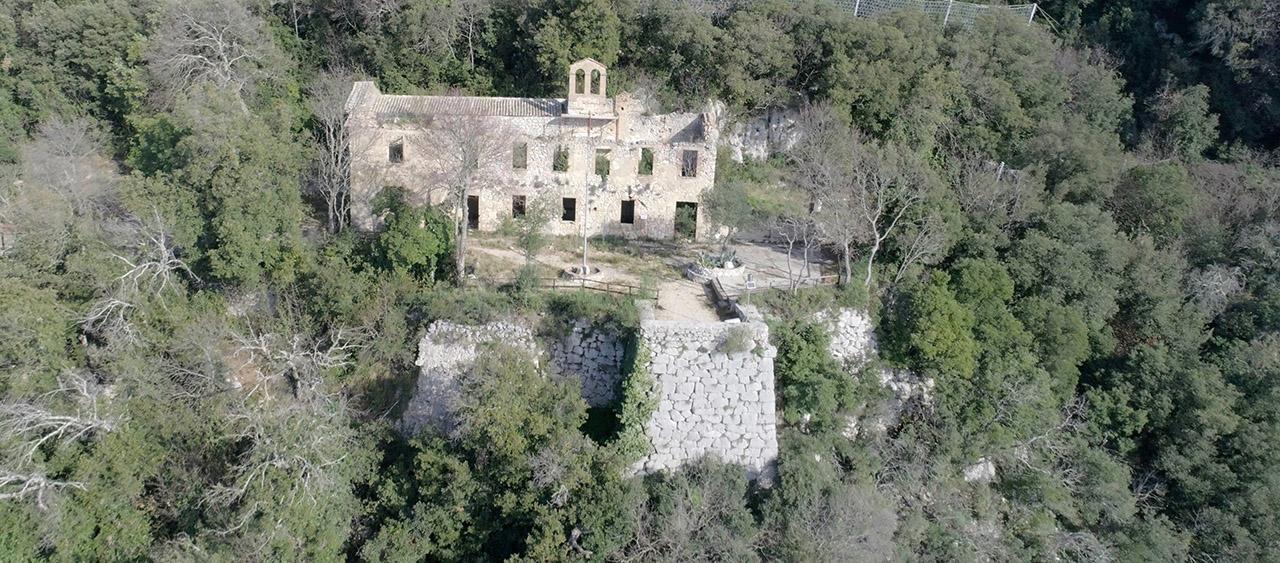
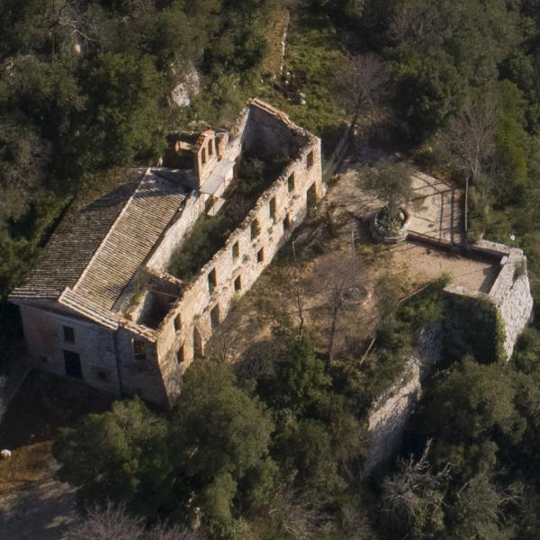
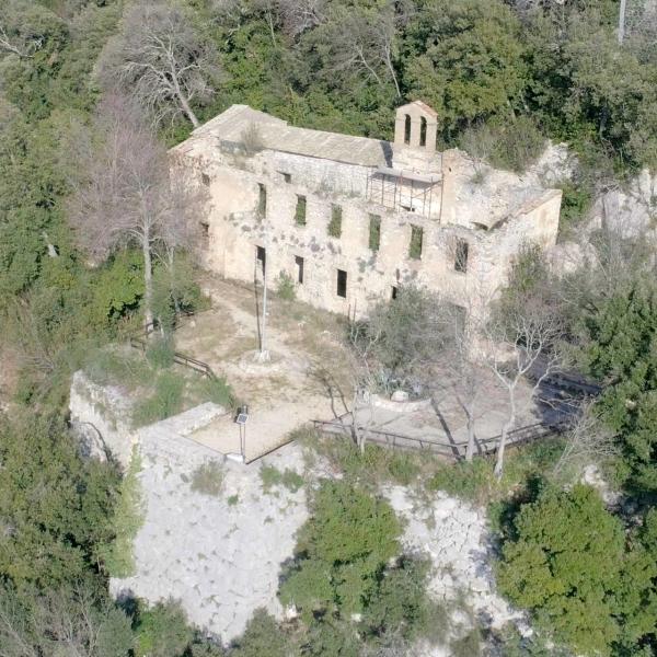
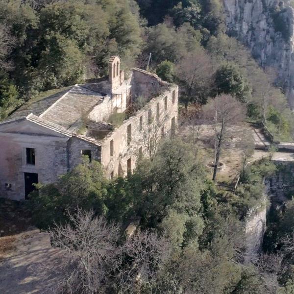
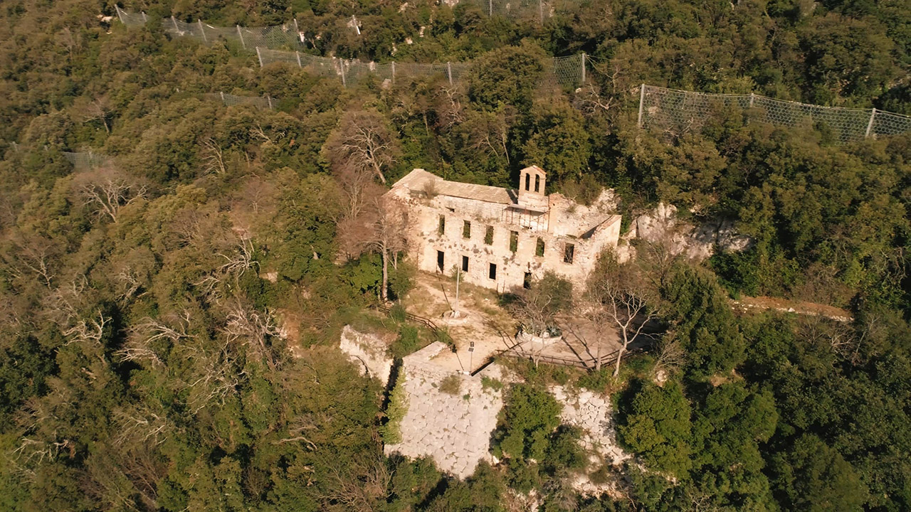
At the top of the village of Cesi, where the now ruined and abandoned church of St.Onofrio is located, stands one of the best preserved polygonal structure remains in the centre.
The structure, by now almost totally immersed in the vegetation that has grown along the rock face, consists of a stretch of masonry in polygonal work, which more or less is at the height of the church, it presents a quadrangular spur, by some interpreted as a buttress, but in all probability is the base of a watchtower built along the walls.
The structure of the tower, also for its characteristics, presents a more regular masonry, now almost tending toward square work.
There is no archaeological element useful in understanding which type of structure could have risen above the terrace supported by the polygonal wall, certainly the presence of the church might suggest the existence of an ancient cult building, but at the moment there is no confirmation.
The only certain element is that the presence of the tower, placed in that position and at that altitude, allowed perfect control of the valley below and to maintain an easy visual connection with nearby Narni. An element that could help interpret it as a true and proper military lookout post, perhaps realised after the capture of Nequinum (Narni) and in the full course of the Romanisation process of the district, at a time it could really make a difference from the point of view of territorial control.
The presence of this structure, together with the one visible below the church of Saint Mary Assumption and perhaps with the one in the locality of La Pittura, constitutes some of the elements which allow us to hypothesise the correspondence of Cesi with the Clusiolum centre mentioned by Plinio in the Naturalis Historia, and belonging to those Umbrian centres which then disappeared, perhaps due to the birth of the eastern branch of the Flaminia and of centres in flat areas, as is the case of nearby Carsulae.
